Chapter 1 / 4
A crossroads, not an isolated valley
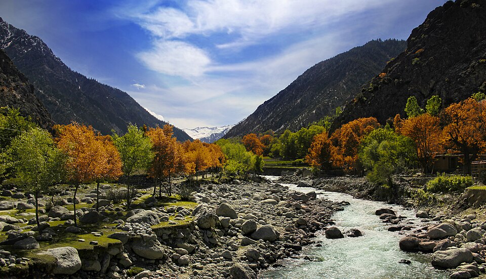
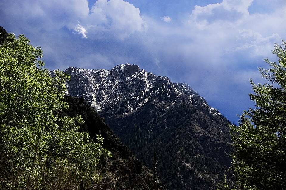
Chitral’s history begins with its landscape, but it cannot be reduced to a story of isolation. Tributary valleys feed the Chitral River, which continues into Afghanistan as the Kunar. Mountain passes connected these valleys with Badakhshan, Wakhan, the Gilgit region and the country to the south. Travel was demanding and seasonal. Yet people, livestock, languages, religious ideas and political ambitions moved across these routes long before the arrival of motor roads. The mountains restricted movement without preventing exchange.
The name Chitral can mean the town beside the river, the former princely state, or the wider historical region. These meanings matter. A story about the ruling family in the capital is not automatically the history of every valley. Upper and lower settlements had different relationships with neighbouring communities and with successive rulers. Local landscapes preserve this complexity in irrigation channels, village names, paths and the memories attached to them.
The earliest political chronology remains uncertain. Local chronicles and oral traditions remember rulers and communities before the better-documented dynasties, but they do not supply an uninterrupted, independently verified record. Stories linking the region to distant conquerors should therefore be read as traditions unless supported by other evidence. A visitor does not need a single ancient founder to appreciate the depth of Chitral’s past.
Language is a more tangible guide to that diversity. Khowar became a widely shared language of the region, while Kalasha, Palula and Gawar-Bati belong to other local Indo-Aryan traditions. Iranian languages, including Wakhi and Yidgha, and Nuristani languages add further layers. Linguistic relationships are not proof of a single ethnic origin. They show that Chitral has long belonged to a larger mountain world, with connections in several directions rather than one cultural centre.
Chapter 2 / 4
Dynasties, land and everyday power
Local histories generally describe a Rais period followed by the ascendancy of the Katur family, also written Katoor or Kator. Their dates are not identical across publications. The study Chitral: A Study in Statecraft places the first Katur takeover in 1590 and records later returns of Rais rulers; a district history describes the final change near the end of the seventeenth century. These accounts need not describe a single clean transfer. They point to a long struggle in which branches of ruling families repeatedly gained and lost territory.
The ruler’s title was Mehtar. Authority depended on more than occupying a fort. Control of land, agricultural produce, service obligations and appointments tied village life to the court. Local intermediaries linked distant settlements to the ruler. In a region with narrow areas of cultivable ground, access to irrigation and dependable labour mattered as much as the size of an army. Political history should therefore include those who built channels, farmed terraces and transported supplies, even when their names are missing from royal chronicles.
Religious change also unfolded over time rather than through one event. Muslim rulers, teachers, travelling religious figures and local networks contributed to the spread of Islam. Sunni and Ismaili communities became part of Chitral’s social landscape, while Kalash communities maintained distinctive religious traditions. These histories intersect, but the Kalash should not stand in for every Chitrali community, nor should their neighbours be treated as one undifferentiated group.
During the nineteenth century, Aman-ul-Mulk, whose reign lasted from 1856 to 1892, consolidated power across much of the region. Rivalries with relatives and neighbouring rulers remained important. His diplomacy dealt with the expanding reach of British India and the ambitions of Afghanistan. Chitral’s position near routes towards Central Asia made local decisions increasingly consequential to outside powers. The later crisis grew out of this combination: a contested monarchy, regional alliances and an imperial frontier that was becoming more closely controlled.
Chapter 3 / 4
The succession crisis and the siege of 1895
Aman-ul-Mulk’s death in 1892 exposed the fragility of succession. Afzal-ul-Mulk took power, Sher Afzal briefly displaced him, and Nizam-ul-Mulk subsequently became ruler. Nizam’s murder early in 1895 brought another claimant, Amir-ul-Mulk, to the forefront. These were local struggles with their own participants and motives. British involvement did not create every rivalry, but it changed the resources available to rival claimants and the consequences of victory.
Sher Afzal returned with support connected to Umra Khan of Jandol. British political officer George Scott Robertson and a mixed garrison of British Indian troops were confined in Chitral Fort. The siege lasted from March into April 1895. Its military details are extensively recorded by British participants: defending walls, protecting access to water, conserving supplies and resisting attempts to approach the fort. Those accounts preserve valuable evidence, but they were written to justify or celebrate an imperial campaign. Their descriptions of local people should be read critically.
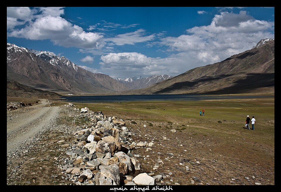
Two relief forces approached from different directions. A larger force under Robert Low advanced from the south through the Malakand and Dir route. A smaller column under James Kelly crossed difficult, snow-covered country from Gilgit by way of the Shandur region. These movements help explain why places well beyond the town belong in the history of the siege. Routes, carriers, food and weather were central to the campaign, not merely a backdrop to fighting.
After the siege ended, British influence became more firmly established and the young Shuja-ul-Mulk ruled under British protection. The event was also debated in Britain: whether to remain in Chitral was a political choice, not an inevitable result of geography. For residents, the outcome meant a new balance between the Mehtar’s internal authority and external supervision. The fort remains an important place to encounter this history, but a balanced account remembers the wider valley and the people who bore the costs of conflict as well as the officers whose names dominate published narratives.
Chapter 4 / 4
Accession, social change and living heritage
Chitral acceded to Pakistan in 1947. Accession and the end of princely rule were separate developments: the state retained an internal administration for a further period, while its autonomy gradually narrowed. In 1969 it was incorporated into Pakistan’s regular district administration. This distinction prevents a common error in short histories, which collapse 1947 and 1969 into one event. The transition changed how authority was exercised and placed local political life within a different administrative framework.
Twentieth-century change was also social. Schooling, public services, migration and new livelihoods broadened the institutions through which people shaped their future. A history centred entirely on Mehtars and military expeditions misses teachers, women’s education, farmers, craftspeople and families working beyond the valley. Development accounts show communities dealing with livelihoods and access to services as well as the preservation of culture. Modern Chitral is not simply a surviving fragment of an old kingdom.
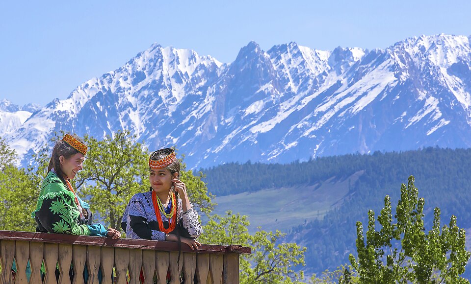
Kalash heritage is one important part of this larger history. UNESCO’s account of Suri Jagek describes observation of the sun, moon, stars and shadows in relation to local topography. This knowledge informs the traditional calendar and seasonal activities. Its inscription on the Urgent Safeguarding List in 2018 recognises the need to transmit living knowledge. It is not a certificate proving a legendary ancestry. Kalash communities are also distinct from the Nuristani communities across the Afghan border; older writers often used imprecise labels that blur that distinction.
For a visitor, the most rewarding way to connect these histories is to read the region at several scales. Chitral town and its fort illuminate state power and 1895. Mountain routes reveal exchange and the practical limits of authority. Village landscapes show agricultural work and shared resources. Languages and seasonal traditions carry histories that a monument alone cannot tell. Ask permission before photographing people or ceremonies, follow local guidance in religious spaces, and treat communities as participants in the present. Chitral’s history continues through the choices its people make today, not only through what travellers come to see.